A groundbreaking EU Horizon Europe-funded project called m4mining will pioneer cutting-edge Earth Observation (EO) technologies to improve sustainability in mining critical raw materials.
Mining is essential for acquiring critical raw materials required to power the green energy transition. These materials are used in various technologies, from electric vehicles (EVs) to wind turbines. However, the extraction process and long-term effects of mining sites’ waste materials create major environmental concerns.
Spearheaded by NORCE, the m4mining project will innovate drone and satellite-based methods for rapid mapping, analysis and visualisation of active and inactive mining site data to make mining critical raw materials more sustainable, reducing waste and boosting environmental management.
Various mining stakeholders from the EU and Australia will be involved in the project, with case studies including the Bauxite aluminium mine in Greece, Copper-Gold mine waste sites in the Republic of Cyprus, and several mines and legacy sites for Copper, Gold and Rare Earth Elements in Australia.
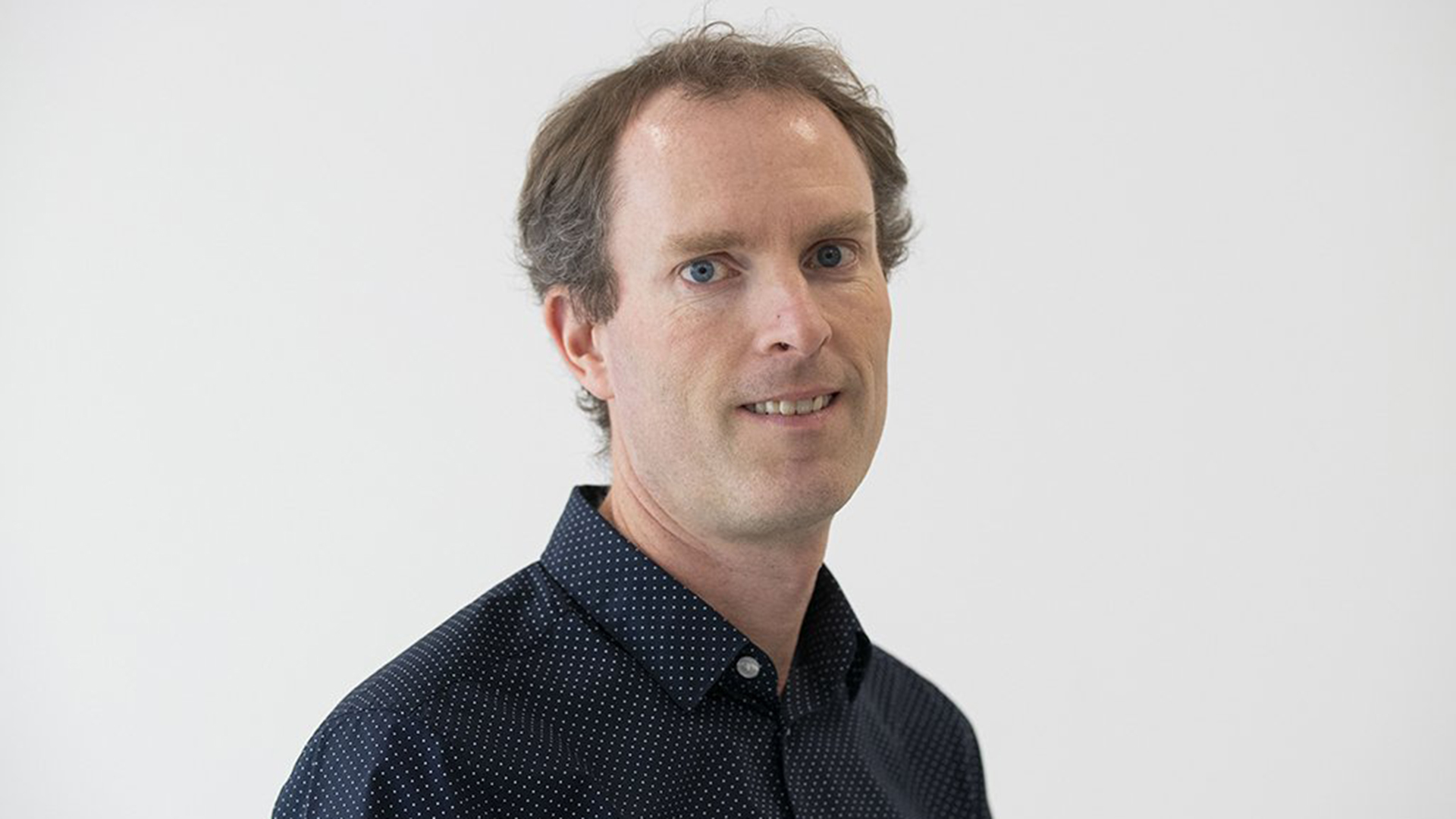
Simon Buckley, a principal researcher at NORCE and scientific coordinator for the project, commented: “We want to make the extraction and site management process more efficient and environmentally sustainable. We already have some of the main technology building blocks required and a really strong consortium that has worked on hardware, software and sustainable mining research for many years.
“We will develop the technology further to achieve real-time monitoring. There are still several technical and scientific challenges to be solved – the hardware and software, new algorithms, and making it safe, fast, and robust enough to work in challenging operational environments. No available solution is currently delivering real-time results, so m4mining aims to provide a step-change for future commercial solutions and best practices.”
Friederike Koerting, a principal researcher from Norsk Elektro Optikk AS, one of the project’s partners, said: “Having key partners in the consortium throughout the whole processing chain is our biggest strength. We will be able to cover all bases, from collecting high-quality drone-based hyperspectral data ready to be analysed and validated by our renowned university and research institutes to comparing these datasets to lower-resolution satellite images from sites worldwide.”
The demand for critical raw materials is growing globally
Global electrification will be key to facilitating the green transition. This paradigm shift in energy will mean that the demand for critical raw materials will increase significantly to manufacture technologies such as EVs, batteries, wind turbines, and electrical components. However, within Europe, critical raw materials are a finite resource, and the transition will take much longer if these demands are not met.
What is the aim of the m4mining project?
Developing new mining sites is traditionally dependent on infrequent and low-resolution geoscientific data. To optimise this process, the m4mining project will innovate hardware and software for drones to ensure real-time mapping of critical raw materials in open pit mines, dynamic monitoring of ore grade within the extraction process, and evaluation of hazard risks in active mine sites and tailings facilities.
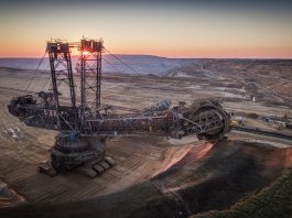
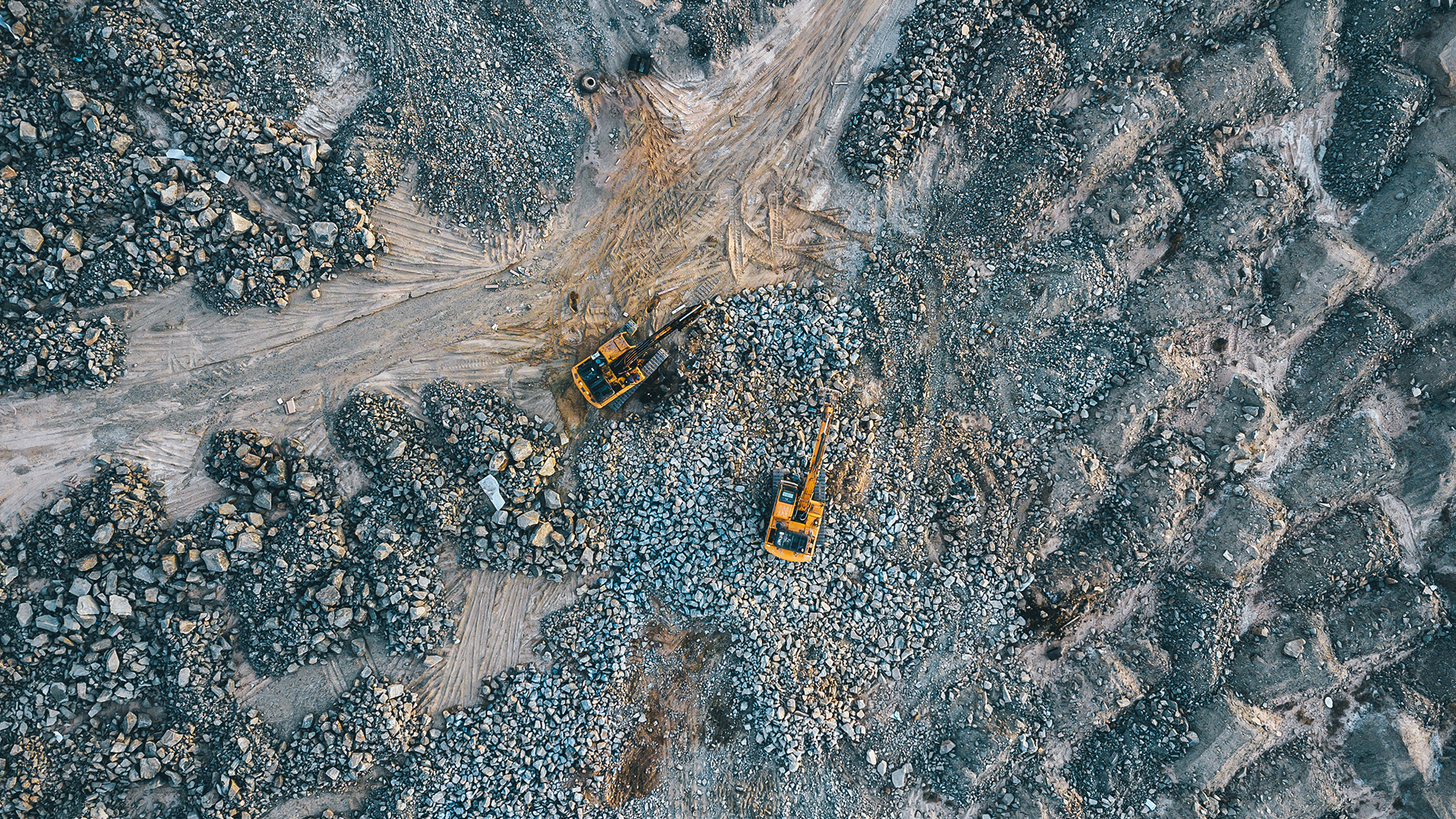
Open pit mining is where critical raw materials are mined under the open sky, in contrast to underground mines, so they can be analysed using satellites and drones. Tailings are non-economic materials left from the extraction process that can lead to environmental hazards over time, such as containment breaches and toxic chemicals leaking into groundwater. m4mining will amalgamate drone technology, several sensor and camera payloads, data processing, and visualisation methods to enhance the sustainability of mining operations and environmental management.
Buckley explained: “We will develop improved maps and techniques to identify and map potential areas of raw material and acquire data that can provide an improved overview of mine tailings and waste. If we succeed, this will be revolutionary, leading to new value for mine operators.”
NORCE’s contribution to the project
The primary role of NORCE in the endeavour is to acquire more reliable and rapid results by employing drones, automation systems, visualisation, and 3D modelling. The drones will be comprised of advanced sensors and hyperspectral cameras that can fly close to the mine sites and image steep quarry faces. Capturing drone data in real-time will enable experts to direct operations and make efficient decisions.
Additionally, the satellites can map larger areas over longer periods and data for time-series analysis of surface changes are already available via the EU Copernicus infrastructure and other satellite missions.
“We envision that in the future, this technology is used at mining companies all over the world, becoming a standard to give rapid updates to enhance their site management and mine planning,” concluded Buckley.