The Copernicus Sentinel-6 Michael Freilich satellite is due to collect measurements of sea-level changes, allowing scientists to better predict climate change.
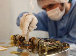
The Copernicus Sentinel-6 Michael Freilich ocean-monitoring satellite is scheduled for launch on 21 November 2020 from the Vandenberg Air Force Base in California, USA. The satellite is the first of two identical satellites to provide critical measurements of sea-level changes.
Once safely in orbit, the satellite will collect sea-surface height measurements and extend the records of sea levels by 40 years. The satellite will map 95% of Earth’s ice-free ocean every ten days and provide crucial information for operational oceanography and climate studies.
Sea-level changes are key indicators of climate change, accurately monitoring the changing height of the sea surface over decades is essential for climate science, for policy-making and for protecting those in low-lying regions at risk.
Karen St. Germain, director of NASA’s Earth Science Division, said: “This continuous record of observations is essential for tracking sea level rise and understanding the factors that contribute to it. With Sentinel-6 Michael Freilich, we ensure those measurements advance both in number and in precision. This mission honours an exceptional scientist and leader, and it will continue Mike’s legacy of advances in ocean studies.”
The satellite was renamed in honour of Michael Freilich, the former director of NASA’s Earth Science Division. The Copernicus Sentinel-6 mission is an example of international cooperation. While Sentinel-6 is part of the European Union’s family of Copernicus missions, its implementation is the result of the unique collaboration between ESA, NASA, Eumetsat, and NOAA, with contribution from the French space agency CNES.
Project scientist Josh Willis of NASA’s Jet Propulsion Laboratory in Southern California, which manages NASA’s contributions to the mission, said: “Sentinel-6 Michael Freilich is a milestone for sea level measurements. It’s the first time we’ve been able to develop multiple satellites that span a complete decade, recognising that climate change and rising seas are here to stay.”