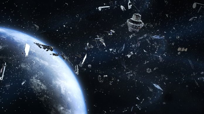
Scientists in the USA have developed a new method of taking images of space debris, which could help space agencies prevent future collisions between waste, satellites, and rockets.
According to NASA, there are currently millions of pieces of space debris in the range of altitudes from 200 to 2,000 kilometres above the Earth’s surface, which is known as low Earth orbit (LEO). Most of the waste is comprised of objects created by humans, like pieces of old spacecraft or defunct satellites. This space debris can reach speeds of up to 18,000 miles per hour, posing a major danger to the 2,612 satellites that currently operate at LEO. Without taking images of space debris and developing effective tools for tracking it, parts of LEO may even become too hazardous for satellites.
In a paper publishing today in the SIAM Journal on Imaging Sciences, US-based researchers introduce a new method for taking high-resolution images of fast-moving and rotating objects in space, such as satellites or debris in LEO. They created an imaging process that first utilises a novel algorithm to estimate the speed and angle at which an object in space is rotating, then applies those estimates to develop a high-resolution picture of the target.
The team, which includes Matan Leibovich (New York University), George Papanicolaou (Stanford University), and Chrysoula Tsogka (University of California, Merced), used a theoretical model of a space imaging system to construct and test their imaging process. The model depicts a piece of fast-moving debris as a cluster of very small, highly reflective objects that represent the strongly reflective edges of an item in orbit, such as the solar panels on a satellite.
The model focuses on sources that produce radiation in the X-band, or from frequencies of eight to 12 gigahertz. Tsogka explained: “It is well known that resolution can be improved by using higher frequencies, such as the X-band. Higher frequencies, however, also result in distortions to the image due to ambient fluctuations from atmospheric effects.” Signals are distorted by turbulent air as they travel from the target to receivers, which can make the imaging of objects in LEO quite challenging. The first step of the authors’ imaging process was thus to correlate the data taken at different receivers, which can help reduce the effects of these distortions.
Creating a sharper image of space junk
Under normal imaging conditions, the physical aperture’s size determines the resolution of the resulting image – a larger aperture begets a sharper picture. However, the quick movement of the imaging target relative to the receivers can create an inverse synthetic aperture, in which the signals that were detected at multiple receivers as the target moved throughout their field of view are synthesised coherently. This configuration can effectively improve the resolution, as if the imaging system had a wider aperture than the physical one.
Objects in LEO can spin on timescales that range from a full rotation every few seconds to every few hundred seconds, which complicates the imaging process. It is thus important to be able to estimate some details about the rotation before developing the image.
The authors therefore needed to estimate the parameters related to the object’s rotation before synthesising the data from different receivers. Though simply checking all the possible parameters to see which ones yield the sharpest image is technically feasible, doing so would require a lot of computational power. Instead, the authors developed a new algorithm that can analyse the imaging data to estimate the object’s rotation speed and the direction of its axis.


