")
Like an artist’s palette, brimming with a spectrum of colours ready to transform a blank canvas into a masterpiece, geospatial technologies are revolutionising the once monotonous field of infrastructure planning.
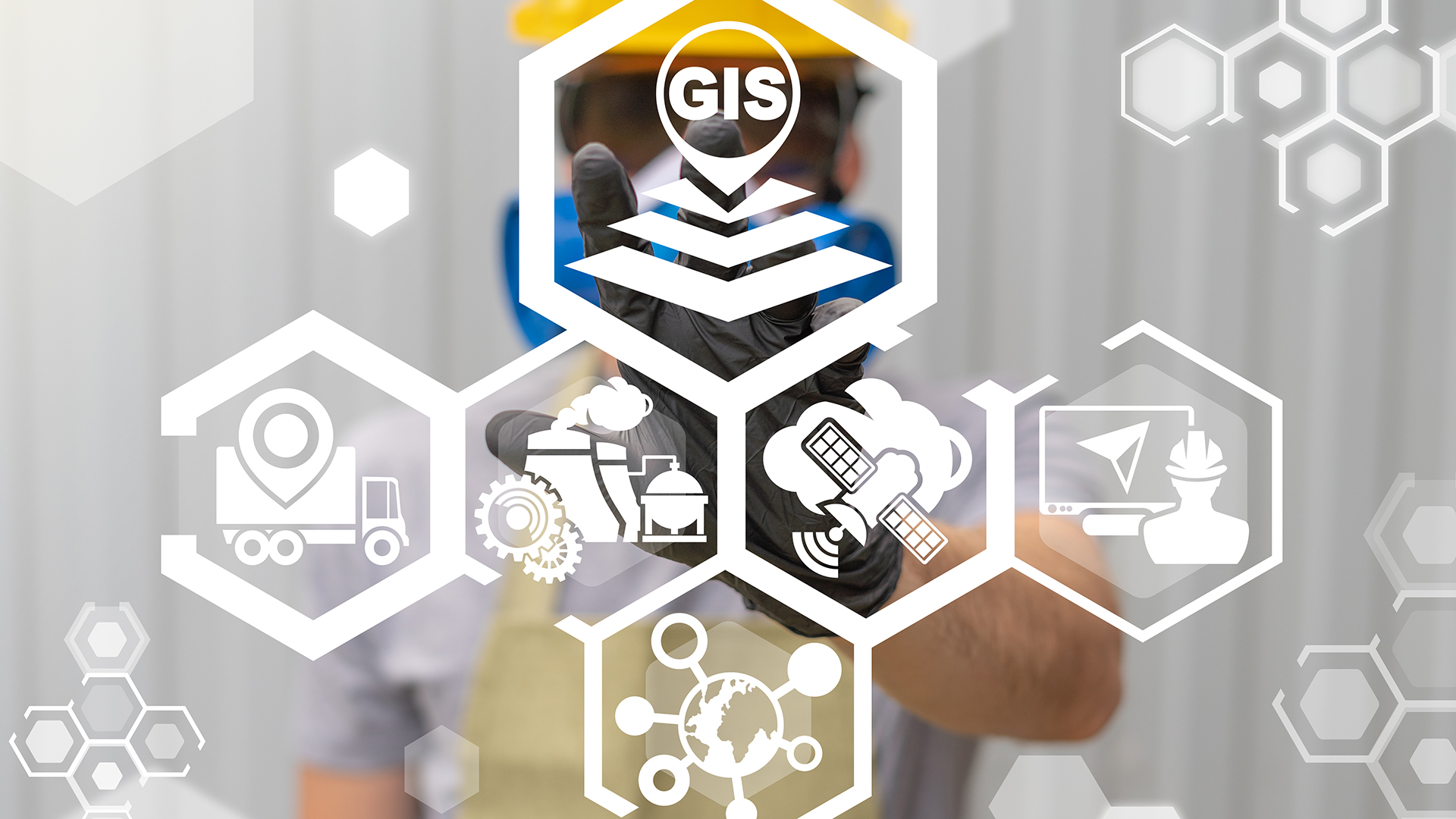
These cutting-edge geospatial technologies, including Geographic Information Systems (GIS), remote sensing, and satellite imagery, inject unprecedented efficiency and accuracy into infrastructure planning.

With their ability to capture, store, manipulate, analyse and manage all types of geographical data, they offer invaluable insights that enable professionals to make strategic decisions in urban planning, construction, transportation, and environmental management. This rise in spatial data analysis creates a transformative era in infrastructure development worldwide.
The basics of spatial data analysis
Spatial data analysis, as a fundamental component of geospatial technologies, plays an instrumental role in revolutionising infrastructure planning by facilitating comprehensive and accurate assessment of geographic information.
This is achieved through the collection and interpretation of spatial data that are organised by specific geographical coordinates. The process involves using geospatial mapping techniques to create visual representations of physical locations and their related attributes on a map.
The synthesised visualisation allows for better comprehension and interpretation of complex geographical relationships, patterns, and trends.
The next phase involves the integration of diverse sets of spatial data using advanced spatial analysis techniques. These include operations such as overlaying maps, calculating proximity measures or conducting network analysis, among others.
Such methods enable planners to effectively study and understand the interplay between various elements within a given geographical space – like landforms, population densities, transportation networks, etc., thereby aiding informed decision-making processes for infrastructure development.
This entire procedure relies heavily on robust geospatial software platforms that support both the manipulation and analysis functionalities required in handling extensive amounts of spatial data.
These tools assist in processing raw geographic information into more usable formats like charts or graphs (data visualisation) or even 3D models (spatial data modelling), which can further enhance our understanding of different spaces and their configurations.
The evolution of spatial data analysis methods has indeed marked a significant shift towards more detailed and precise infrastructure planning strategies.
By virtue of its capacity to amalgamate varied types of location-specific information into meaningful insights – it has not only expanded possibilities for optimal resource allocation but also led to improved results from urban development projects across the globe.
Thus, it is evident that spatial data forms a critical pillar underpinning the effective utilisation of geospatial technologies within modern-day infrastructure planning systems.
The role of GIS in transportation planning
The implementation of GIS in transportation planning can be likened to a master conductor, harmoniously orchestrating an intricate symphony of data, analysis, and decision-making to optimise the functionality and efficiency of transport systems.
Through GIS technology, spatial data can be collected from various sources and integrated into one cohesive platform for comprehensive analysis. This technology allows transportation planners to apprehend the complexities of transport networks by providing a visual representation which aids in making informed decisions.
One significant contribution of GIS is its ability to enhance data visualisation. The system’s capacity to generate detailed maps enables a clear representation of the existing state of transportation networks.
These visuals provide insights into patterns, trends, and relationships that are not easily discernible through traditional means such as spreadsheets or databases. Consequently, this improves understanding and communication among stakeholders involved in transit planning.
Furthermore, GIS plays an instrumental role in route optimisation and traffic analysis. It facilitates dynamic routing by incorporating real-time data on road conditions, traffic volumes, and weather changes, significantly reducing congestion levels and travel times.
Additionally, traffic analysis through GIS helps identify accident hotspots or areas with high congestion levels, hence informing effective strategies for addressing these issues.
Spatial data integration is another key aspect where GIS proves invaluable in transportation planning. It integrates disparate datasets related to land use patterns and population distribution demographics, thereby providing a holistic view necessary for effective transit planning strategies.
It’s evident that GIS has revolutionised infrastructure planning by enhancing data visualisation capabilities and improving route optimisation processes, aiding advanced traffic analysis techniques integrating spatial datasets effectively, leading towards efficient functional transport systems.
Energy grid management using geospatial technologies
Effective management of energy grids has been significantly enhanced by implementing advanced spatial tools, paving the way for an improved allocation and distribution of energy resources.
The integration of geospatial technologies is becoming increasingly critical in addressing complex energy challenges, particularly with grid optimisation and renewable energy integration.
In essence, these technologies facilitate comprehensive mapping and analysis of physical landscapes alongside their associated data sets. This capability is crucial in assessing potential sites for renewable energy installations such as wind farms or solar parks, ultimately aiding in the efficient deployment and integration of these resources into existing power grids.
Applying geospatial technologies extends beyond planning and site selection; it also plays a pivotal role in managing distributed energy resources (DERs). DERs are small-scale power generation sources located close to where electricity is consumed (e.g., solar panels on rooftops).
By using geospatial technologies, utilities can gain crucial insights into the location-specific factors that influence DER performance. For instance, they can assess how local weather conditions might impact a photovoltaic panel’s output or how proximity to load centres could affect a distributed generator’s efficiency.
Further enhancing this scenario is the advent of smart grid technology – an evolved grid system that uses information and communication technologies to improve reliability, security, and efficiency.
Spatial tools contribute substantially to demand response strategies within smart grids by enabling precise monitoring and control over electricity usage patterns across different geographic locations. These capabilities allow utility companies to balance supply with demand more effectively while also mitigating peak loads during high-demand periods.
Geospatial technologies’ contribution to optimising both resource allocation within power grids and facilitating renewable energy integration represents a paradigm shift in infrastructure planning. It underscores how innovation in geospatial applications not only enhances operational efficiencies but also fosters resilience against environmental uncertainties through smarter resource management.
With continued advancements in this field, it is expected that these tools will further revolutionise our approach towards sustainable infrastructure development.
Housing developments and spatial planning
Innovations in spatial tools and methodologies have heralded a new era in housing development projects, significantly influencing the way urban landscapes are designed and managed.
Geospatial technologies offer a sophisticated platform for integrating various data layers such as land use patterns, population distribution, infrastructure availability, and environmental factors, among others.

This enables planners to visualise housing density across different regions of a city or town, thereby fostering informed decision-making on where and how to develop affordable housing units. These spatial analyses can effectively guide zoning policies while also addressing concerns related to urban sprawl.
The incorporation of geospatial technologies in planning processes is proving instrumental in managing the challenges associated with rapid population growth. As cities expand and their populations grow, there is an increased demand for housing that often leads to unplanned urban sprawl.
By utilising geospatial data, planners can identify areas of high population density and anticipate future growth patterns. Consequently, this information aids in strategic planning for residential developments that balance the need for adequate space with preserving green spaces.
Moreover, these technologies help address issues related to land use management within housing development projects. Spatial planning tools allow for a better understanding of the interplay between different land uses such as residential areas, commercial zones, green spaces, etc., thus ensuring optimal utilisation of available resources.
This aspect is particularly important when considering affordable housing initiatives since it facilitates locating suitable plots that offer proximity to essential services like schools and healthcare facilities without compromising on sustainability goals.
Geospatial technology has undeniably revolutionised how infrastructure planning – including housing developments – is carried out today. It empowers stakeholders with valuable insights into demographic trends, environmental considerations and socio-economic factors, all critical elements when shaping sustainable and inclusive cities of tomorrow.
By enabling more accurate anticipation of future needs and challenges related to population growth and urban sprawl and facilitating more efficient use of land resources, this technology enhances our capacity for creating well-planned communities that cater not just for today’s needs but also future generations.
Enhancing public spaces with geographical data
Harnessing the power of geographical data presents a unique opportunity for enhancing public spaces in our urban environments.
Geospatial technologies are increasingly being applied to spatial planning, aiding city planners and architects in creating more efficient and aesthetically pleasing public spaces. Using geographical data visualisation tools allows for complex spatial information to be easily understood, facilitating decision-making processes related to infrastructure planning.
These technologies enable the precise mapping of existing structures, natural features, and socio-economic elements, providing a comprehensive view of the urban environment.

The design of urban parks is one area where geospatial technologies are playing a vital role. By digitising maps and overlaying them with various types of data, such as population density or climate conditions, planners can identify optimal locations for these green spaces.
Furthermore, this kind of analysis helps in determining where amenities like playgrounds or picnic areas should be placed within the park to maximise their utility and accessibility. Moreover, geospatial technologies have also proven invaluable in guiding public art placement within cities.
Through analysing factors such as crowd flow patterns and pedestrian traffic volumes using geographical data visualisation tools, it becomes possible to pinpoint high visibility locations that would maximise the exposure and impact of artistic installations.
Not only does this contribute to an enhanced aesthetic appeal, but it also promotes cultural expression within urban environments.
Smart city infrastructure is another domain which has benefited significantly from the advent of geospatial technology. It plays an integral part in gathering real-time data about utility usage, waste management systems or traffic patterns – thereby allowing city administrators to optimise resource allocation based on actual needs rather than estimates or forecasts.
As we move forward into an era dominated by digitalisation and data-driven decisions, harnessing geographical information will continue to revolutionise how we plan our cities – making them not just smarter but more liveable, too.
The future of geospatial technologies in urban planning
The advent of geospatial technologies has significantly transformed the landscape of urban planning, providing essential tools for detailed analysis and efficient management of urban spaces.
These technologies enable planners to visualise complex urban phenomena in new ways and facilitate urban design processes that are more integrative and comprehensive. At the heart of this transformation is the concept of a smart city, where spatial data is harnessed to improve efficiency, sustainability, and quality of life.
Incorporating geospatial technologies into urban planning allows for advanced modelling and simulation capabilities, further enhancing decision-making processes in urban governance.
These technologies offer a sophisticated level of data visualisation, which can provide greater clarity on issues related to land use, transportation networks, and population density. The idea here is not just about creating visually appealing models but rather generating actionable insights from vast amounts of data that can guide infrastructural development towards sustainability.

Urban mobility is another important component that benefits immensely from geospatial technology applications in smart cities. With real-time tracking systems enabled by GPS technology and integrated with GIS, traffic congestion can be minimised while optimising public transit routes.
This use case demonstrates how these advanced tools can directly contribute to enhanced liveability within cities by addressing some commonly faced challenges.
Integrating geospatial technologies into infrastructure planning marks an exciting era for cities across the globe as they strive towards achieving sustainable growth while ensuring improved quality of life for their residents.
These innovative tools have brought unprecedented opportunities for informed decision-making in various aspects of city planning, ranging from resource allocation to disaster management. As such, incorporating geospatial technology will continue to be pivotal as we navigate towards designing future-ready cities embodying resilience and inclusivity at their core.