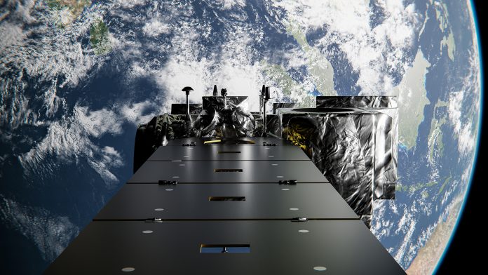
A project funded by the UK Space Agency will use satellite data services supported by Artificial Intelligence (AI) to inform organisations about tackling pollution and biodiversity threats.
Ten new projects will utilise a range of satellite data services, including Earth Observation tools, to produce forecasts and models that can be used in sectors such as agriculture, energy, finance, and insurance.
These applications will not only allow businesses, governments, and others to understand and mitigate biodiversity threats. They will also help identify opportunities for green financing that could support sustainable business growth.
Minister of State at the Department for Science, Innovation and Technology George Freeman MP, explained: “Backing UK innovators to make the most of modern technology including satellite data services, AI, and Earth Observation supports businesses up and down our country to grow our economy while driving forward our ambition to make the UK a major player in space.”
How the tools will analyse biodiversity threats
Each project will receive funding of up to £55,000 to begin developing satellite data services that show the most up-to-date view of environmental contexts.
The services will analyse various issues, including methane and nitrous oxide emissions, watercourse resilience, biodiversity threats, and the infrastructure of decarbonising technologies.
One application by EOLAS Insight Ltd will develop a mapping and reporting service that helps businesses understand the effects of global temperatures on crucial local watercourses and the benefits of investing in mitigation strategies, such as riverside woodland schemes.
Omanos Analytics’ project will generate social context data surrounding the impact of climate change issues on different demographic groups, such as women. This will allow for developing more integrated approaches to pollution and biodiversity threats.
Which satellite data services have received funding?
“The UK has a long history of expertise and innovation in Earth Observation, developing satellites to collect increasingly detailed data and using that information to build services that help protect our planet,” said Dr Paul Bate, Chief Executive of the UK Space Agency.
“This targeted funding for early-stage innovations is all about supporting fresh ideas and accelerating the rollout of powerful new satellite data services that have the potential to benefit a wide range of users both within and beyond the space sector.”
Agreed Earth Ltd, Bolton
Earth Observation and Machine Learning tools will monitor nitrous oxide emissions from agricultural lands so farmers can fully understand and optimise their nitrogen use.
EOLAS Insight Ltd, Glasgow
Automated satellite data services will report watercourse climate resilience to help organisations understand the effects of global temperatures on local watercourses.
Frontierra, London
This cloud-based service will enable organisations to undertake low-cost assessments of their climate impacts related to biodiversity threats.
Map Impact Ltd, Bristol
These satellite data services use multiple data sources to provide an up-to-date picture of climate change and biodiversity threats to help communities to forecast future events and outbreaks.
Sparkgeo UK, Edinburgh
This automated methane monitoring service will measure methane emissions and alert organisations when they are above acceptable levels.
Agtelligence, London
A comprehensive and objective assessment system that uses Earth Observation data to minimise biodiversity threats and also unlock green financing opportunities.
Omanos Analytics, Glasgow
This tool will improve resilience planning and deliver social context data on the impact of climate change issues based on satellite data services that integrate community narratives.
Capterio, London
These satellite data services will track and reduce gas flaring and methane emissions from the global oil and gas supply chains.
GeoSmart Information Ltd, Shrewsbury
This accessible, groundwater-level forecasting system uses Earth Observation to provide accurate data to boost climate change resilience through improved coverage of flood and drought management systems.
Stellarsat Ltd, Bristol
Satellite data services and AI tools to address the exposure of increasing numbers of critical energy infrastructure assets – such as electric vehicle charging stations and home solar systems – to biodiversity threats.


