Artificial Intelligence and Machine Learning can improve disaster mapping and management but this increased reliance requires a higher level of authentication and tracing to protect information.
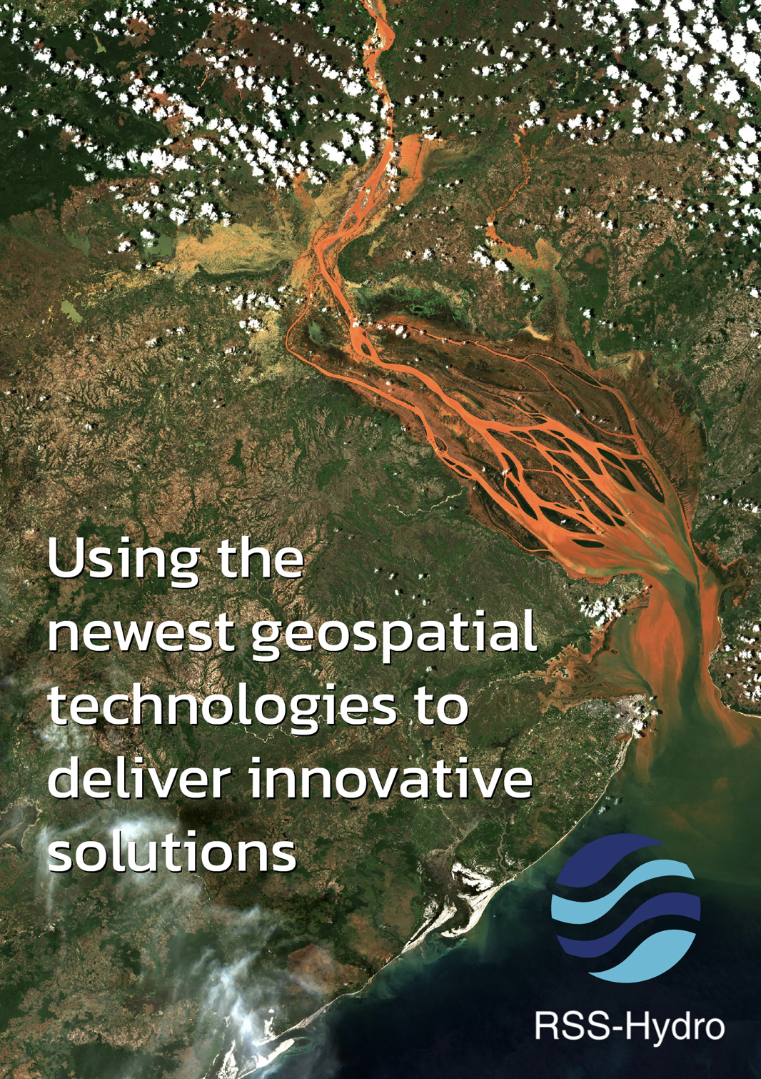
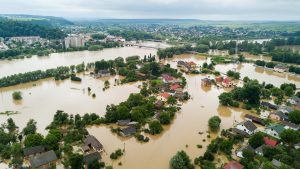
Disaster mapping is a critical tool for disaster preparedness, response, and recovery. It involves using geospatial data to create maps and models that can help identify areas at risk, track the progress of disasters, and assess damage.
In the age of Artificial Intelligence (AI) and Machine Learning (ML), disaster mapping is becoming increasingly sophisticated. However, this also makes it more important than ever to ensure that the data sources and processing chains used in disaster mapping are authenticated and trusted.
The importance of authenticating data sources and tracing data processing chains
At RSS-Hydro, we work with our partners to develop innovative tools that allow data authentication and process tracing. We believe that this is an important part of productisation that is often missing, particularly in the case of Earth Observation (EO) products and services for non-military applications.
There are several reasons why it is important to authenticate data sources and trace data processing chains for EO mapping applications, particularly in the case of disasters.
Accuracy and reliability
If the data sources used in disaster mapping are inaccurate or unreliable, this can lead to inaccurate maps and models. This can have serious consequences for disaster preparedness, response, and recovery efforts. For example, if a map of a flooded area is inaccurate, it may underestimate the extent of damage caused by the event, leading to inadequate resource allocation.
Preventing misinformation in disaster mapping
Misinformation about disasters can be dangerous and can lead to poor decision-making. For example, if misinformation is spread about the evacuation route for a wildland fire or the track of fire smoke clouds, it could lead to people or aeroplanes taking a longer and more dangerous route.
By authenticating data sources and tracing data processing chains, disaster mapping organisations can help prevent the spread of misinformation.
Security
Cyberattacks can be used to manipulate data or disrupt data processing chains. This can have a serious impact on the accuracy and reliability of disaster maps and models. For example, a cyberattack could be used to change the data in a disaster map to show that a certain area is not at risk, when it actually is, or vice versa.
By authenticating data sources and tracing data processing chains, disaster risk management companies or, more generally, geospatial service providers can help protect against cyberattacks.
Improving accuracy and reliability
So, how can authenticating data sources and tracing data processing chains help improve the accuracy and reliability of disaster mapping and models?
Firstly, providers can authenticate data sources by verifying the identity and credentials of the data providers. They can also check to see if the data have been tampered with or altered.
EO application or software development companies can also trace data processing chains by tracking how data are collected, processed, and stored. This helps ensure that the data are not altered or manipulated in any way.
By taking these steps, producers can help ensure the maps and models they produce are as accurate and reliable as possible. This can help improve disaster preparedness, response, and recovery efforts. It also increases the value of the map product considerably. The map can now be used by the stakeholder or client as a trusted product that can be integrated into an operations protocol.
Putting the authentication and traceability process in a legal framework would augment the product value significantly. For example, a (re)insurer may use these trusted maps in a legal case for claims settlements. An authenticated map product may also be used by an organisation in support of their ESG reporting. Related to disasters, this is of particular relevance to the financial risk and global health industry.
In addition to the benefits mentioned above, authenticating data sources and tracing data processing chains can also help:
Build trust with stakeholders
By demonstrating that they are committed to data quality and transparency, information providers can build trust with stakeholders, such as government agencies, emergency responders, the public, and private companies.
Improve communication and collaboration
By sharing information about data sources and data processing chains, companies can improve communication and collaboration with other organisations involved in disaster management.
Enhance accountability
By tracing data processing chains, organisations can be held accountable for the accuracy and reliability of their maps and models.
Overall, authenticating data sources and tracing data processing chains are essential for ensuring the accuracy, reliability, and trustworthiness of disaster maps and models.
Methods for disaster mapping
There are a number of ways to authenticate data sources and trace data processing chains for disaster mapping applications. Some of the most important methods include:
- Using trusted data sources: Data sources should be used that are known to be reliable and accurate. This may include government agencies, academic institutions, and non-profit organisations.
- Checking data provenance: Developers should check the provenance of all data used in disaster mapping applications. Provenance is the history of a piece of data, including who created it, when it was created, and how it has been processed.
- Using data encryption and authentication: Mapping organisations should use data encryption and authentication to protect data from unauthorised access and manipulation.
- Auditing data processing chains: Data processing chains should be audited to identify any potential vulnerabilities. This can help identify and address any risks to the accuracy and reliability of maps and models.
The age of AI and ML
AI and ML are increasingly being used in many applications that deal with information content extraction, including EO mapping applications. For example, AI and ML can be used to develop algorithms that can automatically identify and classify disaster damage from satellite imagery, which is growing significantly in popularity.
However, the use of AI and ML in disaster mapping also gives rise to new challenges. One of the biggest challenges is ensuring that the data used to train and operate AI and ML models are accurate and reliable. If the data are inaccurate or unreliable, this can lead to inaccurate and unreliable results from AI and ML models – the famous ‘garbage in, garbage out’ phrase.

Another challenge is ensuring that ML models are not biased. ML models are trained on data, and if the data are biased, the model will be biased as well. This can lead to inaccurate or unfair results.
By authenticating data sources and tracing data processing chains, geospatial mapping companies can help ensure that the data used to train and operate ML models are accurate and reliable. This can help improve the accuracy and fairness of AI and ML models used in disaster mapping applications.
International conflicts and misinformation
International conflicts and mistrust can make it difficult to authenticate data sources and trace data processing chains. This is because countries and organisations may be reluctant to share data with each other, or they may be concerned that data will be manipulated or used for malicious purposes.
However, it is important to authenticate data sources and trace data processing chains even in the context of international conflicts and mistrust. This is because, ultimately, the purpose of a map, especially one containing non-trivial information about a disaster, can play a vital role in saving lives and reducing the impact of disasters.
By working together, producers of geospatial information content and mapping organisations can develop protocols and standards for authenticating data sources and tracing data processing chains. This can help build trust and cooperation between countries and organisations, and it can help ensure that disaster mapping applications have access to the data they need to save lives.
Please note, this article will also appear in the sixteenth edition of our quarterly publication.