Geospatial technologies hold enormous potential for contributing to every stage of disaster management, from preparedness to recovery.
Like a delicate ship navigating treacherous waters, effective disaster management is akin to possessing an accurate map and compass; in this context, geospatial technologies such as Geographic Information Systems (GIS) and remote sensing emerge as critical navigational aids.

These sophisticated tools offer an integrative approach to dealing with natural calamities, offering a lifeline in reducing vulnerability and enhancing climate resilience.
They enable extensive collection, detailed analysis, dynamic visualisation, and vigilant monitoring of geospatial data—a treasure trove of invaluable insights for conducting risk assessment, formulating response strategies, evaluating damage extent and tracking recovery progress.
By leveraging geospatial technologies that amalgamate GIS capabilities with remote sensing techniques, decision-makers can significantly improve resource allocation strategies and coordination efforts during emergencies—ultimately saving lives while mitigating the impacts of natural disasters.
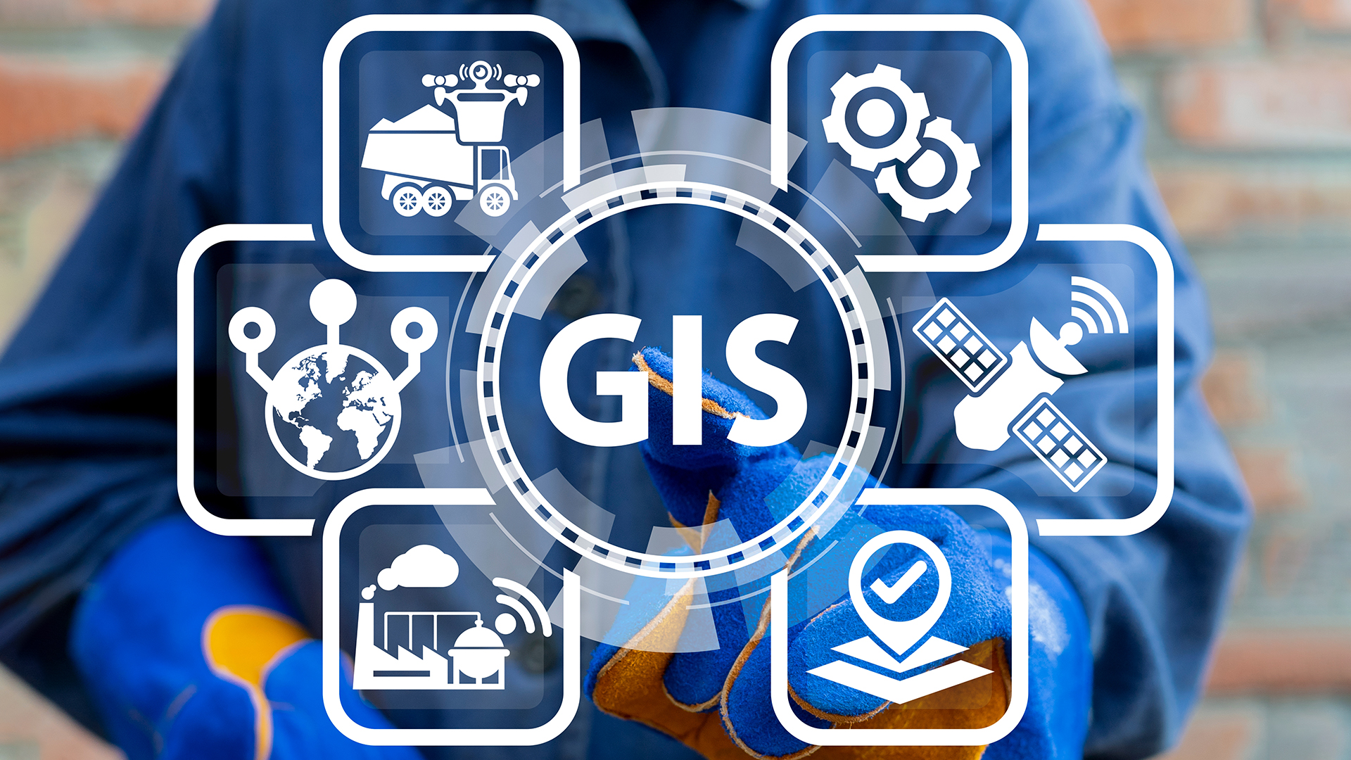
GIS in crisis mitigation
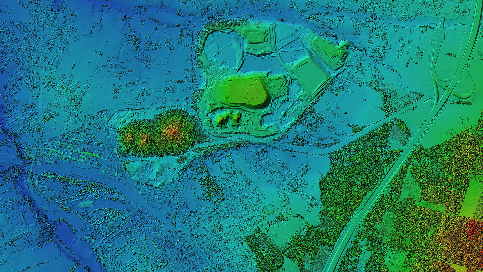
In crisis mitigation, GIS technology plays a pivotal role by providing essential tools for data collection, analysis, and visualisation, which aids in risk assessment, identification of high-risk zones, vulnerability analysis, and developing robust disaster management plans.
The utilisation of these geospatial technologies enables authorities to predict potential hazards accurately and identify areas at maximum risk.
By conducting comprehensive risk assessments using GIS-based mapping techniques and monitoring systems, organisations can determine how susceptible different regions are to various disasters. This information can be used to prioritise resources effectively and devise preemptive measures accordingly.
Furthermore, GIS technology’s ability to gather real-time data during an event becomes invaluable in managing ongoing crises. It facilitates immediate response strategies by creating situation maps that identify affected areas quickly while estimating population density and locating evacuation routes efficiently.
Post-disaster assessment is another crucial aspect where GIS provides significant assistance. Through spatial analysis of the affected region post-event, it helps evaluate the extent of damage quantitatively and qualitatively.
This data can facilitate prioritising recovery efforts based on severity levels while ensuring efficient allocation of resources for reconstruction projects. Ultimately, these capabilities highlight how integral GIS is in effective disaster planning and management processes.
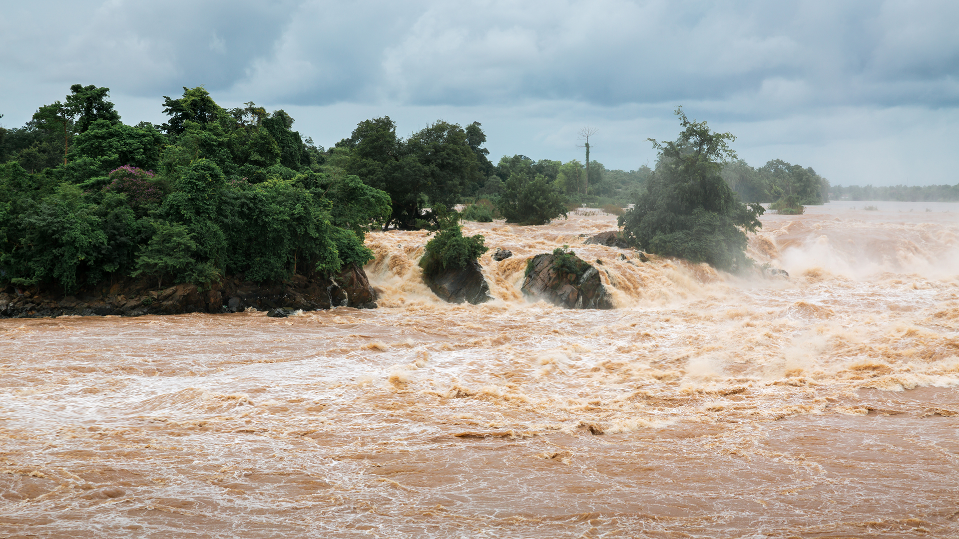
Remote sensing utility
Remarkably, remote sensing can deliver up-to-date and high-resolution visual data of disaster-affected areas, with studies showing that its use can reduce emergency response times by up to 20%.
It plays a crucial role in both pre-disaster planning and post-disaster management by providing essential geospatial analysis.
Remote sensing applications have been instrumental in hazard assessment and disaster monitoring, allowing for the prediction and tracking of natural events such as hurricanes, floods, and wildfires, among others.
By analysing historical data and topography patterns through remote sensing technologies, authorities can map potential hazard zones which is vital for urban planning and risk reduction.
In addition to this predictive capability, remote sensing also excels at delivering real-time data during an ongoing crisis. Effective disaster response requires timely information regarding the extent of damage incurred and the progression of the event.
Remote sensing technologies offer just that – immediate access to detailed representations of affected regions, which facilitates faster decision-making processes on evacuation strategies or resource allocation.
The advent of satellite imaging combined with advanced computational algorithms has further expanded this field’s potential for more accurate damage assessment following a natural disaster.
Combining GIS and remote sensing
Harnessing the synergy between GIS and remote sensing can significantly enhance capabilities in disaster preparedness, response, and recovery.
The integration of these geospatial technologies allows for a comprehensive understanding of the terrain and environmental conditions before, during, and after a disaster event. Data integration from various sources, including satellite imagery, forms the foundation for this robust approach.
With such rich datasets at their disposal, disaster management personnel can perform detailed spatial analysis to assess risk levels, identify vulnerable areas, predict potential disasters, plan evacuation routes and coordinate effective disaster response efforts.
Incorporating predictive modelling into this process further extends its effectiveness by providing early warnings based on historical data patterns and real-time updates.
Spatial analysis with GIS includes:
- Risk assessment: Identifying high-risk zones based on geographical factors
- Vulnerability mapping: Highlighting regions prone to specific types of disasters
Predictive modelling using remote sensing data enables:
- Hazard prediction: Using historical data to forecast potential disasters
- Real-time monitoring: Tracking the progression of ongoing events for immediate response
Through such synergistic application of GIS and remote sensing technologies, geospatial data becomes a powerful tool in aiding efficient disaster management strategies that aim to protect lives and resources against the devastating impacts of natural calamities.
The power of geospatial technologies unfolds in their unmitigated ability to manage natural disasters. Draped in digital data, these tools transform tumultuous times into structured systems, enabling efficacious emergency responses and recovery processes.