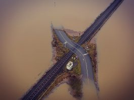
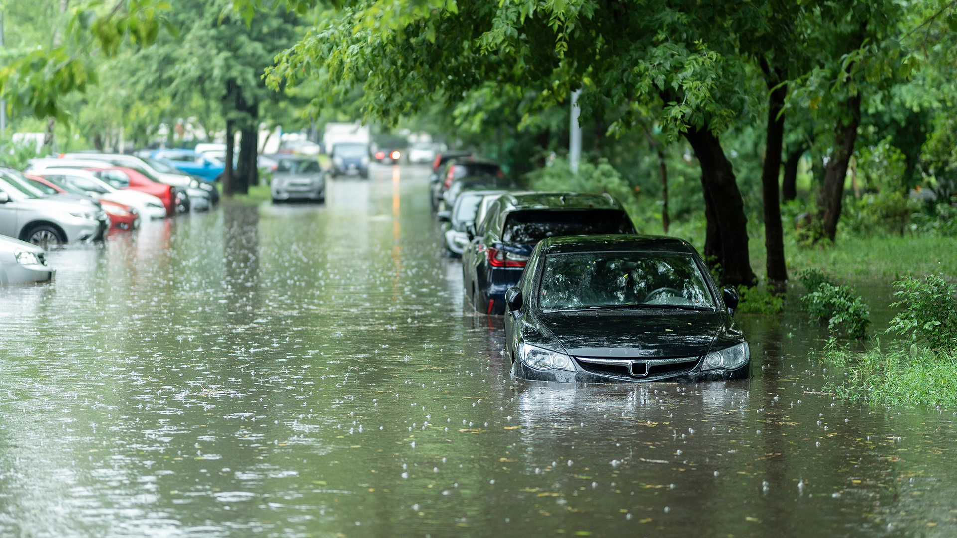
The global surge in urban flooding has brought a daunting challenge for cities worldwide, necessitating urgent attention to tackle this issue through meticulous urban planning and innovative infrastructure design.
In this in-depth exploration, we will delve into the intricacies of urban flood risks and dissect how strategic urban planning and infrastructure can act as a shield, safeguarding residents and ensuring the sustainability of urban areas.

From dissecting the elements of flood risks in urban settings to analysing successful case studies in urban resilience, this discourse aims to provide a comprehensive understanding of the strategies imperative for cities to combat the escalating threat of flooding.
Understanding urban flood risks
The foundation of effective flood risk management lies in a profound comprehension of diverse factors, encompassing city infrastructure, climate patterns, and land-use practices.
Poorly constructed or maintained structures can amplify flood conditions, making city infrastructure a critical player in flood risk scenarios.
Climate patterns, influencing the frequency and intensity of rainfall events, directly correlate with the likelihood of urban flooding.
Land-use practices, particularly related to rapid urbanisation, contribute significantly to increased flood risks by removing natural flood barriers and creating impermeable surfaces.
Thus, a holistic understanding of these elements is paramount for successful flood risk management, and this is where strategic urban planning and infrastructure design come into play.
Role of infrastructure design
Building on the understanding of urban flood risks, it becomes evident that the design of urban infrastructure plays a pivotal role in mitigating these risks.
The placement and design of buildings, roadways, drainage systems, and other infrastructure elements significantly impact the direction and volume of floodwater.
An effective design integrates sustainable drainage systems that are capable of capturing, storing, and gradually releasing rainwater.
Additionally, incorporating flood-resistant design elements such as elevated buildings, floodwalls, and levees can fortify urban areas against flooding.
The adoption of green infrastructure, including parks, wetlands, and green roofs, aids in absorbing excess water. Consequently, a well-thought-out infrastructure design not only diminishes susceptibility to floods but also boosts urban resilience, safeguarding cities for generations to come.
Urban planning strategies for flood mitigation
Effectively mitigating flood risks through city planning requires a comprehensive approach that intertwines urban design, community participation, and sustainable practices.
Urban design must incorporate resilience, featuring infrastructure and buildings designed to withstand flooding. Community participation is crucial for ensuring that strategies are locally appropriate and enjoy community support.
Sustainable practices, such as preserving and restoring natural floodplains and incorporating green infrastructure, provide long-term solutions.
Comprehensive city planning can also involve zoning laws to limit construction in flood-prone areas and the formulation of emergency response plans.
By weaving together these elements, city planning emerges as a potent tool for mitigating flood risks, thereby protecting urban environments and their inhabitants.
Case studies in successful urban resilience
To understand how cities worldwide have successfully incorporated resilience into urban planning to mitigate flood risks, we turn our attention to four inspiring case studies:
- Rotterdam, Netherlands: Implemented an extensive water storage system and floating structures.
- New York, USA: Adopted multi-layered protection measures and resilient infrastructure.
- Venice, Italy: Executed the MOSE project to prevent high tides.
- Bangkok, Thailand: Utilised flood parks, permeable pavements, and elevated buildings.
These cities are beacons of success, showcasing the benefits of comprehensive urban planning and adaptive strategies.

Their achievements underscore the vital role of resilience in urban planning, offering valuable insights for flood-prone cities across the globe.
Future trends in flood-resilient urban planning
Drawing from the triumphs of these urban resilience models, emerging trends in flood-resilient urban design are shaping the future of city planning in the face of escalating climate challenges.
One notable trend is the increased incorporation of blue-green infrastructure, utilising natural landscapes to absorb and redirect water.
The concept of ‘living with water’ is gaining traction, where urban design embraces the presence of water, leading to the development of amphibious structures and floating neighbourhoods.
Furthermore, digital technology is playing a pivotal role, with flood prediction and monitoring systems becoming integral to urban planning.
These promising trends paint a picture of a future where cities harmoniously coexist with their water environments, setting the stage for a resilient and sustainable urban landscape.